DS 3: Navigation / To GPS coordinates
 ress Navigation to display the main page.
Explore the map by sliding a finger on the screen. Touch the screen with a finger to go to the next image.
 Press this button to display the world map.
Using the grid, select the desired country or region by zooming.
 Press this button to display or enter the
GPS coordinates.
Press this button to display or enter the
GPS coordinates.
 A marker is displayed in the middle of the
screen, with the "Latitude" and
"Longitude" coordinates.
A marker is displayed in the middle of the
screen, with the "Latitude" and
"Longitude" coordinates.
Choose the type of coordinates: DMS for: Degrees, Minutes, Seconds.
DD for: Degrees, Decimals.
 Press this button to start guided
navigation.
Press this button to start guided
navigation.
Or
 Press this button to save the displayed
address.
Press this button to save the displayed
address.
OR
 Press this button to enter the "Latitude"
value using the virtual keypad.
Press this button to enter the "Latitude"
value using the virtual keypad.
And
 Press this button to enter the "Longitude"
value using the virtual keypad.
Press this button to enter the "Longitude"
value using the virtual keypad.
 To a point on the map
Press Navigation to
display the main page.
Explore the map by sliding a finger on the screen.
Select the destination by pressing on the map.
Tap the screen to place a
marker and
display the sub-menu...
 TMC (Traffic Message
Channel)
TMC (Traffic Message
Channel)
Available in some countries.
TMC (Traffic Message Channel) messages
are based on a European standard for traffic
information broadcasting via the RDS system on
FM radio, sending traffic information in real time...
Other information:
DS 3 2016-2026 Owners Manual: Steering-mounted controls
ON (CRUISE position)/OFF Activation of cruise control at the current speed/decrease speed setting Activation of cruise control at the current speed/increase speed setting Pause/resume cruise control with the speed setting previously savedConfirmation of vehicle restart after automatic stop (versions with Stop & Go function) Depending on version:Display the speed thresholds save..
DS 3 2016-2026 Owners Manual: Front lamps
Model with DS MATRIX LED VISION headlamps Direction indicators (LED) Main beam headlamps (LED Matrix Beam module). Dipped beam headlamps (LED). Daytime running lamps (LED). Model with halogen headlamps Main beam headlamps (H7) Dipped beam headlamps (H7) Direction indicators (PWY24) Daytime running lamps (LED) Opening the bonnet/Accessing the bulbs Proceed with caution when the en..
Categories
- Manuals Home
- 1st Generation DS 3 Owners Manual
- 1st Generation DS 3 Service Manual
- Stop & Start
- Activation/Deactivation
- Engine oil
- New on site
- Most important about car
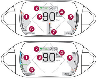
Digital instrument panel
This digital instrument panel can be customised. Depending on the display mode selected, certain information is hidden or presented differently.